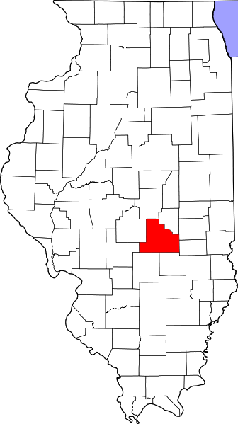


Shelby County, Illinois, is a rural area located in the central part of the state. It has an area of about 768 square miles and a population of just under 22,000 as of 2018. Most of its inhabitants reside in smaller towns and villages scattered throughout the county.
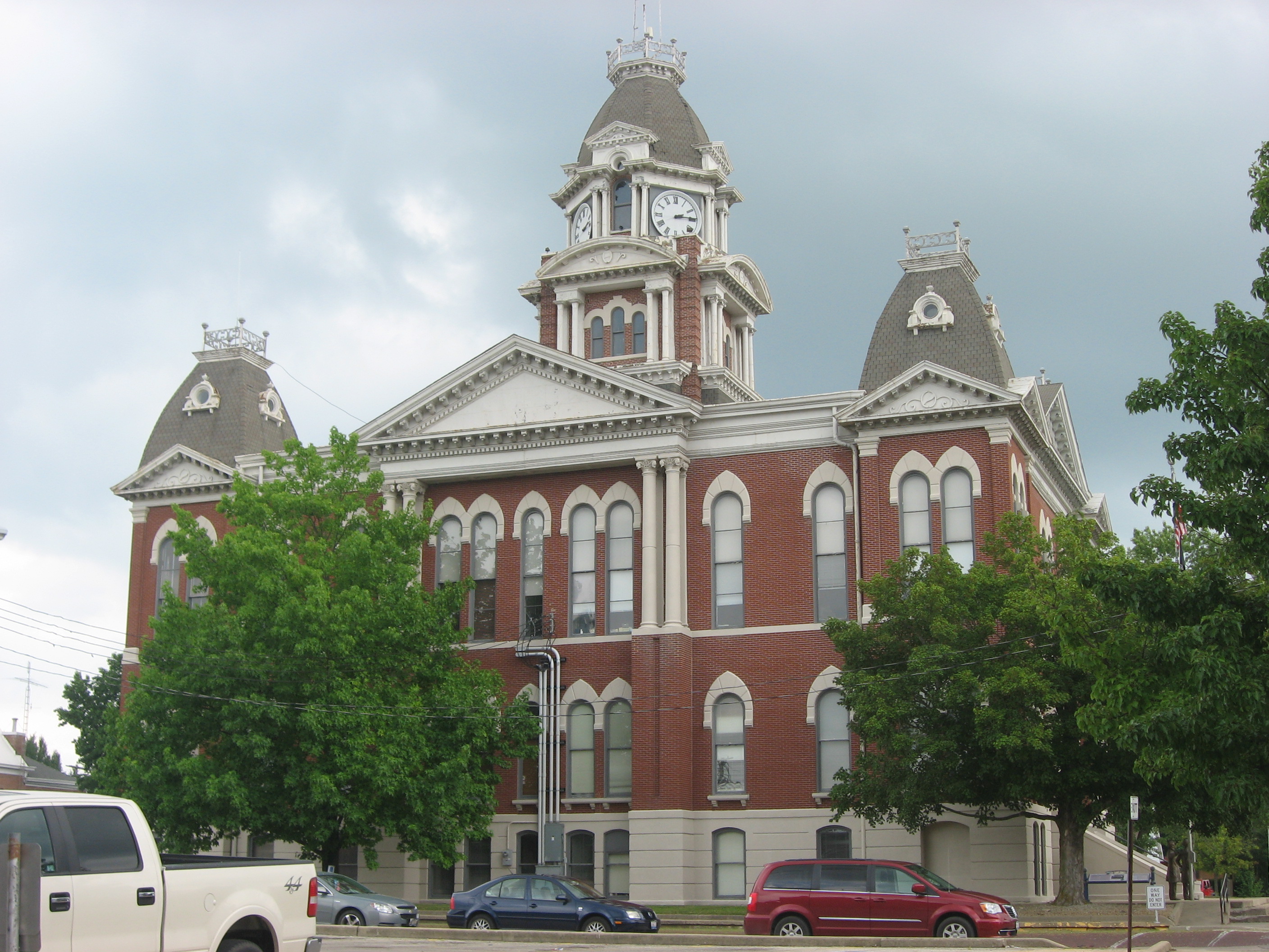
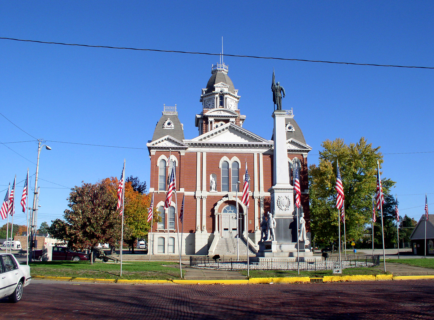
Historically, Shelby County was home to several Native American tribes and early settlers. In 1827, the county was established by the Illinois legislature and named after Kentucky statesman Isaac Shelby. The county seat is Shelbyville, which also served as the first county courthouse until it burned down in 1844. The third and most recent courthouse was completed in 1881.
The main attraction in Shelby County is Lake Shelbyville. This lake was created in 1970 by damming up the Kaskaskia River for flood control and providing recreational opportunities. Since then, it has become increasingly popular among anglers, boaters, and campers who come to enjoy its 11,000 acres of land filled with coves and various species of fish. This lake supplies water to several areas within the county.
The government of Shelby County is organized into three branches: executive, legislative, and judicial. The executive branch consists of seven elected officials who are responsible for managing the day-to-day business in the county while enacting policies that benefit local residents. Additionally, nine township boards oversee certain services such as roads, taxes, police protection, and infrastructure maintenance throughout each township’s boundaries. Trustees from all townships who serve on constituent boards that make decisions about special issues, such as zoning regulations or long-term planning efforts, hold an important role within this government system.
Finally, Shelby County boasts a rich history full of stories from citizens across generations that have made this place their home over the years – some even dating back before its founding nearly two centuries ago! It also serves present-day residents with many wonderful amenities, from Lake Shelbyville’s recreational activities to support from governmental processes that ensure a safe environment for locals now more than ever before!
Geography
According to the U.S. Census Bureau, the county has a total area of 768 square miles (1,990 km2), of which 759 square miles (1,970 km2) is land and 9.5 square miles (25 km2) (1.2%) is water.
Climate and weather
In recent years, average temperatures in the county seat of Shelbyville have ranged from a low of 19 °F (−7 °C) in January to a high of 87 °F (31 °C) in July, although a record low of −26 °F (−32 °C) was recorded in January 1915 and a record high of 111 °F (44 °C) was recorded in July 1936. Average monthly precipitation ranged from 1.89 inches (48 mm) in February to 4.05 inches (103 mm) in June.
Demographics
According to the 2020 United States Census, Shelby County has a population of 20,990. The racial makeup of the county is 95.3% White, 1.7% African American, 0.8% Native American, 0.4% Asian, 1.1% from two or more races; and 0.7% Hispanic or Latino of any race. The median age is 40 years old with 32 percent of the population being under 18 years old and 17 percent of the population being over 65 years old.
The average household size in Shelby County is 2.48 individuals. Of those households, 53.2% involve a married couple and 26.5% have children under 18 living with them.
9.1% of households have an annual income of less than $10,000; 22.2% make between $10,000 and $25,000; 24.1% of households earn between $25,000 and $50,000; 28.3% earn between $50,001 and $75,000; 11.8% make between $75,001 and $100,000; 4.6% make between $100,001 and $150,000; 0.8% make more than $150,000 per year.